737 residents, one lake road, and the Dachstein rising straight up behind it.
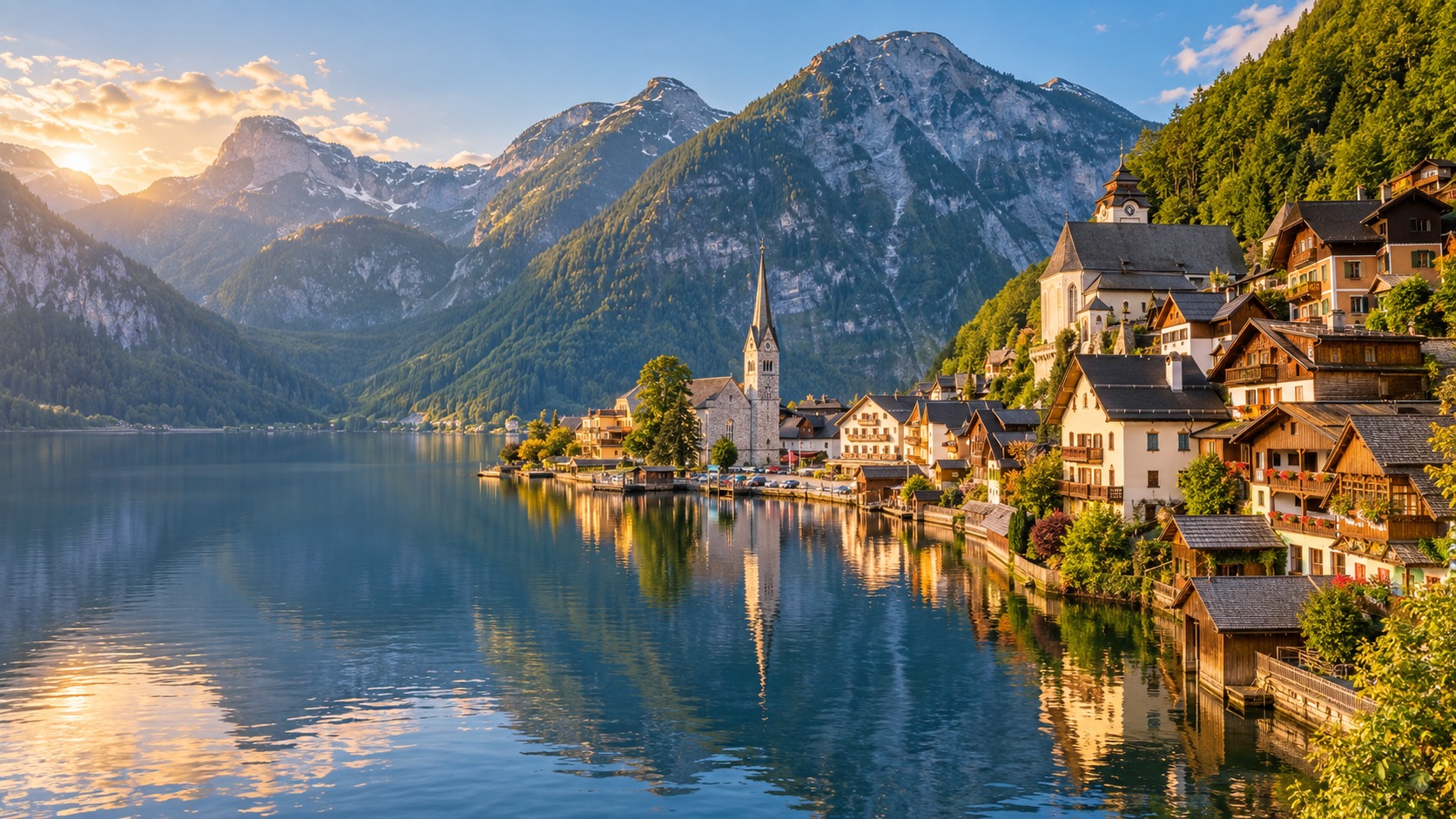
The layout
Hallstatt is compact by necessity — houses are stacked up a narrow shelf between the Hallstättersee and the steep slope leading to the Salzberg and the Dachstein massif above it. The market square (Marktplatz) is the closest thing to a centre, a short walk from the boat landing, with the Catholic parish church and the Beinhaus a climb up the hillside above it.
The lake
The Hallstättersee is a long, narrow alpine lake, and it's not just scenery — it's the practical way in and out of the village for a large share of visitors, particularly foot passengers arriving from the Hallstatt-Obertraun train station on the opposite shore. The passenger ferry crossing is short, and for much of the year it's a more reliable way in than trying to drive and park.
Why the road sometimes closes to cars
The single lakefront road through the village was never built for modern tourist traffic. On the busiest peak-season days, local authorities restrict or close it to non-resident vehicles entirely, funnelling arrivals toward the train-and-ferry route or the limited, capped tour-bus system instead.
The Dachstein backdrop
The mountains framing the lake are part of the Dachstein massif, and the wider protected area — including Hallstatt, Obertraun, Bad Goisern, and Gosau — forms the Hallstatt-Dachstein/Salzkammergut Cultural Landscape, inscribed as a UNESCO World Heritage Site in 1997 for the combination of natural alpine scenery and the salt-mining history underneath it.